
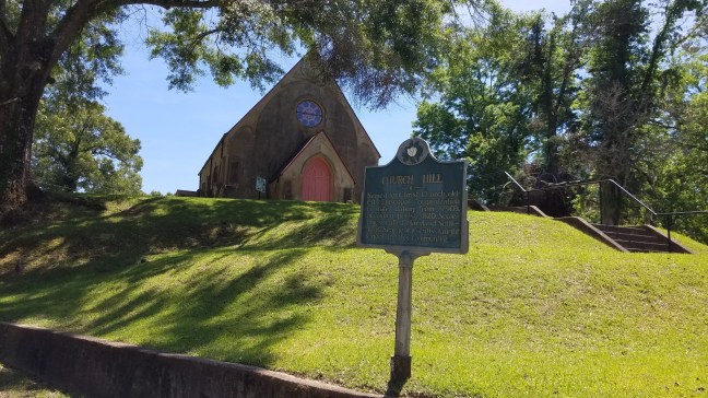
Church Hill, Mississippi, is named after Christ Church, which sits on a hill. The church was built around 1820 and is designed after county church buildings in England. It is located about 18 miles north of Natchez.
It was originally known as the Old Maryland settlement due to the people who moved from Maryland to Jefferson County after the Revolutionary War. The name was changed to Church Hill in 1820. Christ Church is often referred to as the “cradle of Episcopacy in Mississippi” since it was the first Episcopalian congregation in Mississippi.
During the height of the cotton boom, the area was home to many wealthy cotton planters before the Civil War. During the 1800s, however, soil erosion caused the decline. Antebellum plantations still lie along Highway 553.
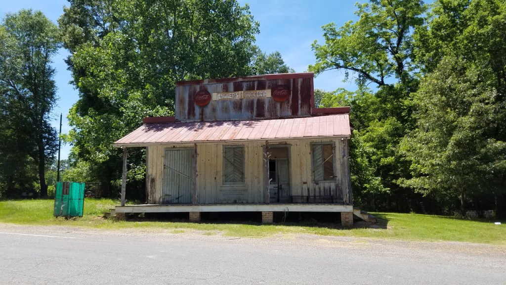
One of the buildings still standing is Wagners Grocery, which was built around 1837. The store closed in 1998, and the building was donated to the Church Hill historic society. It was also a post office. It is believed to be the oldest heart pine country store that was also a post office in the Southeastern United States.
Historical Marker Inscription
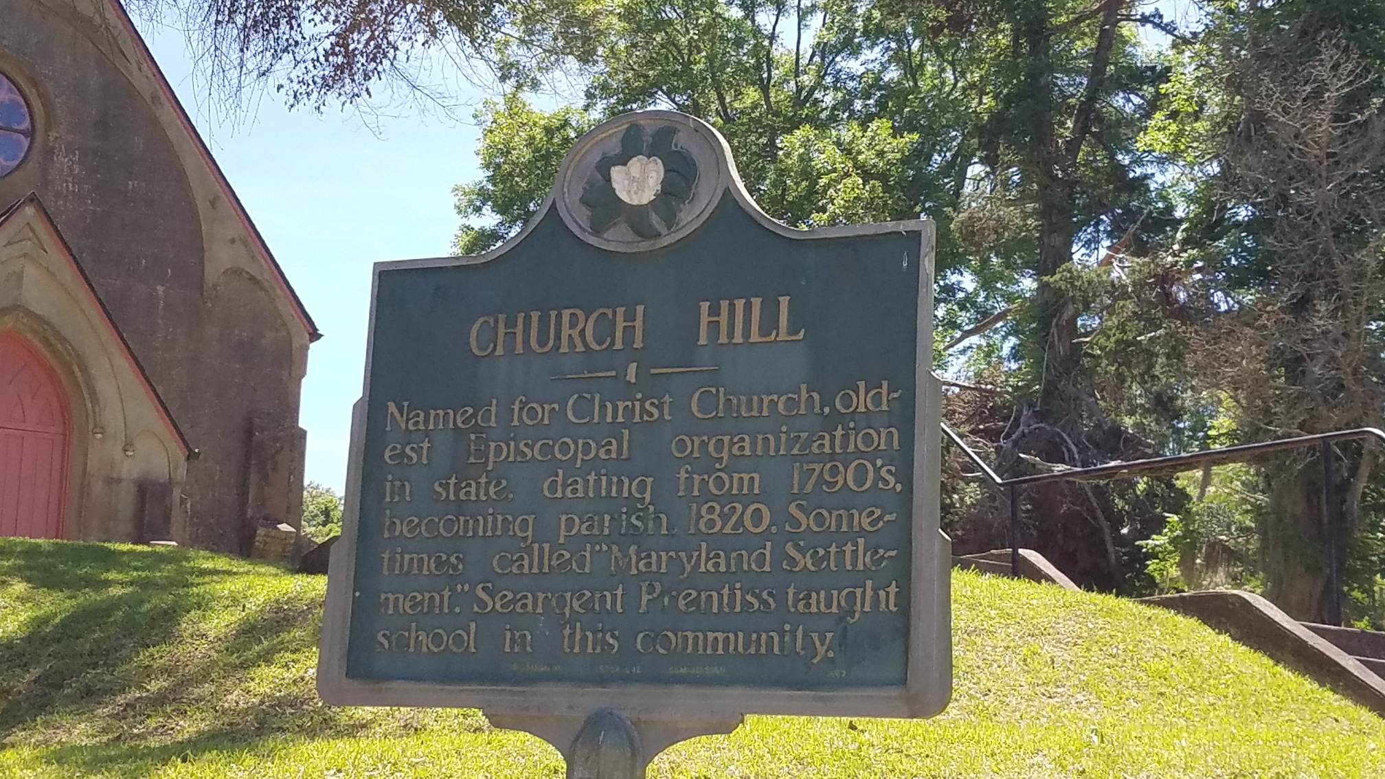
Named for Christ Church, oldest Episcopal organization in state, dating from 1790s, becoming parish, 1820. Sometimes called “Maryland Settlement.” Seargent Prentiss taught school in this community.
Location
Intersection of State Highway 535 and Church Hill Road, Church Hill, Mississippi, USA
31° 42.946′ N, 91° 14.297′ W
