Named after the Menominee Indians of Wisconsin, the Menominee River is about 120 miles long and is the border between Wisconsin and Michigan’s Upper Peninsula. It eventually drains into Lake Michigan at Green Bay.
The river is important to the Native American tribe it’s named after, considering there is a creation myth about how their people’s came into existence at the river’s mouth.
It is a destination for fishing, hiking and water activities, and it is crucial for drinking water.
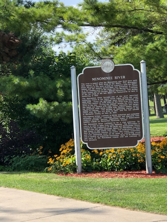
Historical Marker Inscription
This river is named after the Menominees who lived here until they moved to the Wolf River in the 1850’s. The Menominee River served as the main artery of commerce until the 1850’s. Indians and fur traders moved their furs downriver in canoes to a fur trading post on the river run by Marinette, a French Indian woman and her partner, William Farnsworth. The decline of the fur trade in the late 1820’s led Farnsworth to turn to lumbering in 1831.
The Menominee River became one of the most important lumbering rivers in the Upper Great Lakes during the years 1865–1895. Trees cut upstream were floated downriver and sawed into lumber on both sides of the river from this bridge down to the bay. During the summer months the river above this island was choked with logs; below, schooners and barges lay anchored while being loaded with finished lumber before sailing to Chicago. The decline of lumbering started in the 1890’s, with the last log drive in 1917, and the last sawmill in Marinette closing on July 31, 1931.
This highway bridge continues to divide industrial and residential Marinette; downriver, foundries, factories and shipyards have replaced sawmills; upriver, impressive homes of lumbermen’s families remain on Marinette’s Riverside Avenue.
The Menominee River continues to be a vital waterway. Its source is only 12 miles from Lake Superior. The Menominee is formed by the confluence of the Brule and Michigamme Rivers a little over 100 miles upstream. Before the Menominee reaches this island it falls nearly 700 feet. Ten hydroelectric dams (two in Marinette) harness its power and create reservoirs, and four papermills draw on its water in converting wood into a variety of household necessities. Many of its tributaries and parts of the Menominee remain wild and continue to flow untamed.
Location
Stephenson Island Park, 499 Bridge Street, Marinette, WI 54143 United States
45° 6′ 6.820″ N, 87° 37′ 44.940″ W