The cemetery, along with the farmstead, belonged to Samuel and Elizabeth Mumma during the American Civil War. The structures on the farm were burned in 1862 by the Confederate soldiers, but were rebuilt in 1863.
The cemetery on the property dates back to the 1700s. The Orndorff family were the original owners of the farm. The Orndorffs are also buried in the cemetery, but the locations of their graves are unknown.
The Orndorff family sold the property to Jacob Mumma, father of Samuel, in 1810. However, when Elizabeth Hoffman Orndorff, wife of Christian II, died in 1829, she was allowed to be buried next to her husband in the graveyard.
The Mummas were German Baptist Brethren. People who were members of this congregation were called Dunkers. Samual Mumma donated a portion of his land to the Dunkers in 1852. In 1873, he enlarged the cemetery and allowed members of the congregation to be buried here.
Historical Marker Inscription
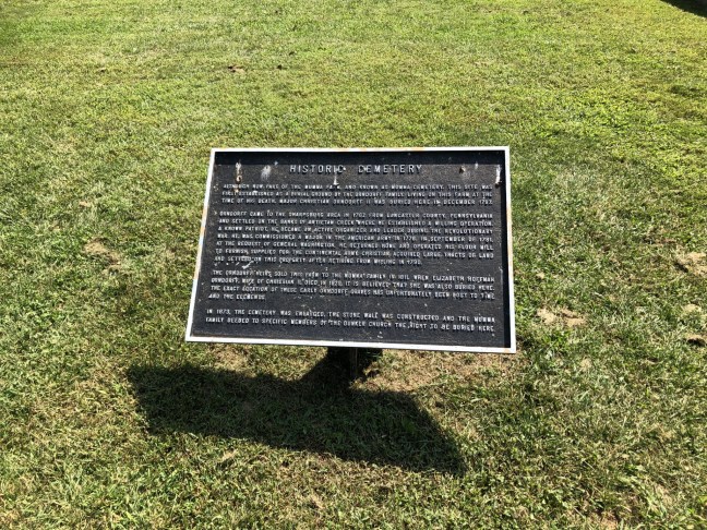
Historic Cemetery
Although now part of the Mumma Farm, and known as Mumma Cemetery. This site was first established as a burial ground by the Orndorff Family. Living on this farm at the time of his death, Major Christian Orndorff II was buried here in December 1797.
Orndorff came to the Sharpsburg area in 1762 from Lancaster County, Pennsylvania and settled on the banks of Antietam Creek where he established a milling operation. A known patriot, he became an active organizer and leader during the Revolutionary War. He was commissioned a major in the American Army in 1776. In September of 1781, at the request of General Washington, he returned home and operated his flour mill to furnish supplies for the Continental Army. Christian acquired large tracts of land and settled on this property after retiring from milling in 1790.
The Orndorff heirs sold this farm to the Mumma Family in 1811. When Elizabeth Hoffman Orndorff, wife of Christian II, died in 1829, it is believed that she was also buried here. The exact location of these early Orndorff graves has unfortunately been lost to time and the elements.
In 1873, the cemetery was enlarged, the stone wall was constructed and the Mumma family deeded to specific members of the Dunker Church the right to be buried here.
Location
39° 28’ 42.330” N, 77° 44’ 30.468” W
Antietam National Battlefield, 5919–5923 Mummas Ln, Keedysville, MD 21756, United States