The Platte River starts in the Colorado Rockies at Grizzly Creek, Colorado. It has two forks: the North Platte and the South Platte. The South Platte River flows through Colorado and its major city Denver. The other tributary flows through Wyoming. The two forks connect in Nebraska. The river is 310 miles long.
During the 1800s, it served as one of the main routes that pioneers used to travel to the west. It also acts as part of the continental bird migration route. It is estimated that as many as 500,000 sandhill cranes and a percentage of whooping cranes migrate through the central Platte area.
Over the years, the North and South Platte river waters have been diverted for use in reservoirs, dams and more. This means that the amount of water that actually flows in the river has fallen. This has increased plant life along the rivers and decreased bird habitat.
Historical Marker Inscription
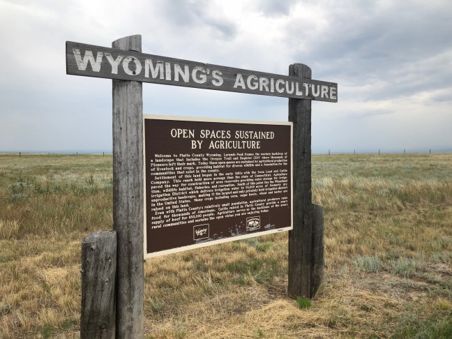
The Platte River has two forks, both originate in the high Colorado Rockies. This is the north fork of the Platte. The north fork and south fork join in western Nebraska and eventually flow into the Missouri River. As human populations have grown throughout the world, so has their need for water. Platte River water irrigates croplands in Wyoming, Colorado, and Nebraska — part of our nation’s breadbasket. It provides drinking water for over four million people and as many domestic animals. Competition for this water is fierce. Fish and wildlife also rely on this water to survive. Upstream and downstream wildlife use the water from the river for drinking and as a home. It is particularly important as a resting place for millions of ducks and geese as well as the nation’s largest single gathering of sandhill cranes. Vegetation growing along the river’s banks is lush because of the deep soils and available water. This vegetation, when protected and conserved, grows deep roots which hold river bank soils together, keeps the river from eroding the banks and filters soil out of the water before entering the river. River bank vegetation helps keep the river water clean for humans, fish, and wildlife.
All humans along the Platte are responsible for the river’s water. We control the destiny of humans and wildlife on the Platte. Part of our responsibility to Wyoming’s resources is its wild places and wild things.
Location
1950 US-26, Hartsville, Wyoming 82215 United States
42° 15′ 40.352″, 104° 41′ 49.548″ W