
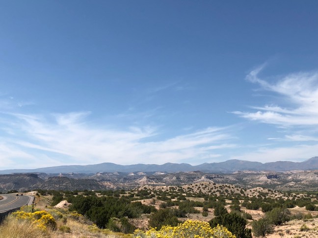
The Jemez Mountains are the remnants of a super volcano, whose last major eruption was about 1 millions years ago. Fewer, smaller eruptions have occurred since this last catastrophic one. While these mountains sit within the Rocky Mountains, they are geologically distinct from this mountain range.

Many of the area points of interest, including Bandelier National Monument, are located on top of the ash flow from this volcano. You can also see the 13-mile wide circular depression created by the volcano at Valles Caldera National Preserve.
Text From the Historical Marker

Side 1: On the skyline to the west are the Jémez Mountains where tremendous volcanic eruptions a million years ago created a huge caldera some 15 miles in
diameter that now forms beautiful Valle Grande set amid a ring of volcanic peaks. Geothermal energy has been tapped from hot rock beneath the
mountains. The Jemez Mountains are part of the Southern Rockies and form one of the western ranges of the Rockies in New Mexico. Elevations exceed 11,000
feet.
Side 2: Flow and ash-fall deposits surrounding the volcanic range form the Pajarito Plateau, site of numerous ancient cliff dwellings preserved at Bandelier National Monument and Puye Cliff Dwellings. Part of the plateau was homesteaded by Hispanic families until 1943 when the U.S. government condemned their land and the private Los Alamos Ranch School for the Manhattan Project. Los Alamos National Laboratory and the city that grew up around it are built over the homesteads and the school is a museum.
Location: Off Highway 502 in Santa Fe County between Santa Fe and Los Alamos. Latitude: 35.885887 N Longitude: 106.102225 W
