Founded in 1681, St. Philip’s Church is an Anglican church and one of the oldest churches in South Carolina. It is also the oldest congregation in the state. It was the first Anglican church to be established south of Virginia.
The first church was a wooden building, located where St. Michael’s Episcopal Church currently stands. The next church building was erected in the 18th century and is in the latest church’s present location. This building was burnt down in 1835 and was replaced between 1835 and 1838. The architect was Joseph Hyde, but the steeple was designed by E.B. White, which was added later.
Many famous people lie in the church cemetery, including Charles Pinkney, famous for the Pickney Draught, and Edward Rutledge, South Carolina Legislator and Senator. Pickney was also a Signer of the United States Constitution while Rutledge was a Signer of the Declaration of Independence.
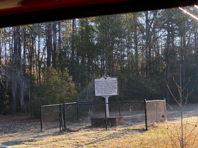
Historical Marker Inscription
Here in the churchyard of
St. Philip’s are buried
Charles Pinckney
(1757-1824)
Signer of the United
States Constitution
and author of the famous
“Pinckney Draught”
Governor of South Carolina
U.S. Senator & Congressman
Minister to Spain
Edward Rutledge
(1749-1800)
Signer of the Declaration
of Independence
Delegate to First & Second
Continental Congresses
S.C. Legislator & Senator
Governor of South Carolina.
Erected By
South Carolina Society Daughters of American Colonists
1969
Location
32° 46’ 44.052” N, 79° 55’ 45.168” W
154 Church St, Charleston, SC 29401, United States