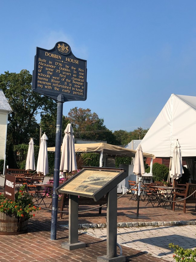
Audubon Park was the location of the Boré Plantation owned by Étienne de Boré, which started as an indigo plantation, but later converted into sugar cane. The process was assisted by chemist Antoine Morin, who was a free man of color originally from Saint-Domingue. Morin created a process that made sugar granulation possible in 1795.
This process not only assisted the financially struggling Boré, but the entire southern Louisiana region’s sugar industry. Many plantation owners became wealthy, and the domestic slave trade expanded due to the sugar industry and its need for more workers.
Boré was later selected to head the City Government and became the first Mayor of New Orleans, serving from 1803 to 184. He resigned on May 26, 1804. He died on February 1, 1820, and is buried in St. Louis Cemetery No. 1 in New Orleans.
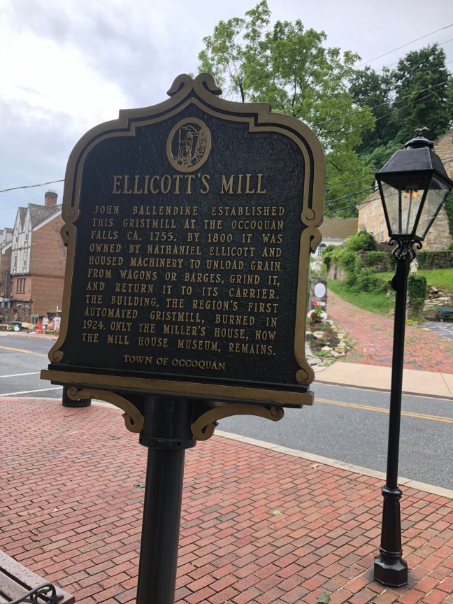
Historical Marker Inscription
This site 1781-1820 plantation of Jean Etienne Boré (1741-1820) First Mayor of N.O. 1803-1804. Here Boré first granulated sugar in 1795. Purchased for park in 1871. Site of World’s Industrial & Cotton Centennial Exposition 1884-1885.
Location
Audubon Zoo, 6500 Magazine Street, New Orleans, LA 70118, United States
29° 55′ 22.158″ N, 90° 7′ 53.650″ W
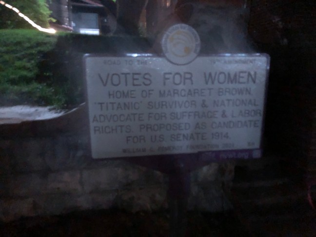


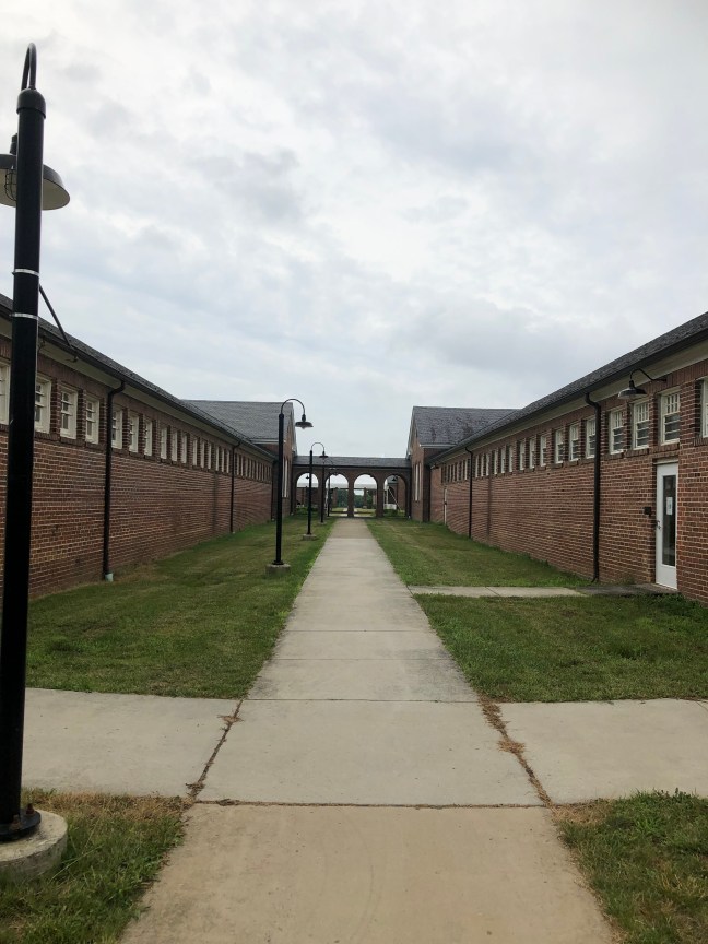
 The historical marker commemorates the imprisonment of 70 suffragists during 1917. The women had been peacefully picketing on the White House sidewalk and were known as the Silent Sentinels.