Drayton Hall was built in 1738 and is one of the earliest examples of Palladian architecture. It is also the oldest unrestored plantation house in the United States that is still open to the public. It required 360,000 hand-made bricks to build the house. The Draytons leveraged both slave labor and white craftsmen to construct the property. Drayton Hall was owned by seven generations of the Drayton Family before it became a historic site.
While not a working plantation, it was the commercial hub of John Drayton’s empire. The Drayton family’s wealth was founded upon cattle, rice and indigo.
Drayton Hall is an active archaeological site with an on-premise preservation department.
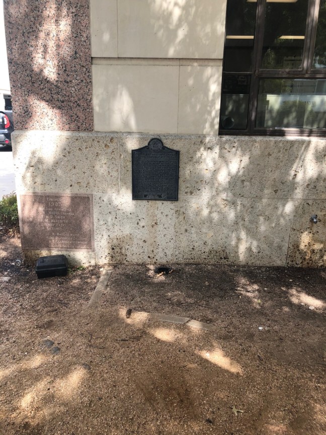
Historical Marker Inscription

Seat of the Drayton family for seven generations, this land was acquired in 1738 by John Drayton (c. 1759~1779) as the center of his extensive indigo and rice planting ventures. One of the finest examples of Georgian Palladian architecture in America, this is the only surviving colonial plantation house on the Ashley River.